|
 |
|
|
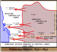
 KUMEYAAY MAP 1836-1842 Kumeyaay Attacks Mexican San DiegoThis Mike Connolly Miskwish, Campo-Kumeyaay website history map graphic "Kumeyaay Attack Ranchos and Coastal Lands 1836-1842" highlights in white the stolen Kumeyaay ancestral territory and the Mexican controlled coastal San Diego, California, battles noted 1836 thorough 1842. The Spanish lost control of the region to the Mexicans during the MEXICAN WAR OF INDEPENDENCE 1810-1821. The Kumeyaay began attacking the now Mexican-controlled coastal areas -- battles highlighted in red arrows -- presumably to take back their lost territory and stop poor treatment of their tribal members.
This historical map graphic is being used by the Kumeyaay Information Village website in its Kumeyaay History online sections.
Visit Mike Connolly's Kumeyaay band in the Smithsonian.
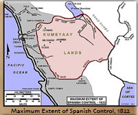
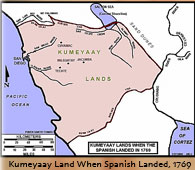
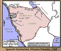
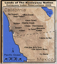
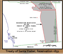
Five more MIKE CONNOLLY MISKWISH Campo Maps may be accessed here. These five historical Kumeyaay maps detail Kumeyaay points of history:
|
||||||||||||
| Terms of Use • Privacy Statement • Site Map Kumeyaay Indians Home • About Us • Mission Statement • Press Kit • Contact Us |
||||||||||||