|
 |
|
|
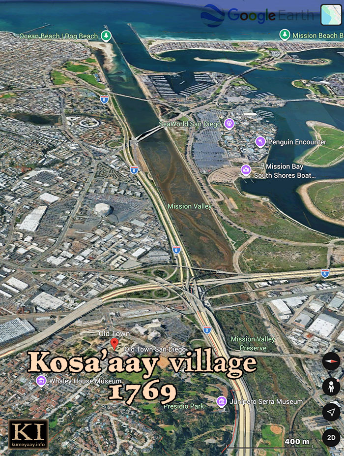
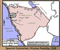
 KUMEYAAY LANDS MAP 1798 Spanish Mission Expansion San DiegoThis Mike Connolly Miskwish, Campo-Kumeyaay website historical map "Mission Lands Expand Into Neighboring Valleys by 1798" photo details the Kumeyaay Nation ancestral tribal lands as of 1798. The gray shaded area overlapping Kosa'aay highlights colonial expansion and the alarming loss of Kumeyaay territory. Kosa'aay Kumeyaay village taken: The exact spot on the map where the Colonials got their foothold on California tribal lands in the 1760s. GROUND ZERO for the California Indigenous Tribes.
KUMEYAAY MAPPING PROJECT: Historic present-day area of Kosa'aay pictured in 2026, now known as Old Town San Diego, a popular tourist hotspot celebrating Colonial history:
But nothing dedicated to the period Indigenous peoples, why?
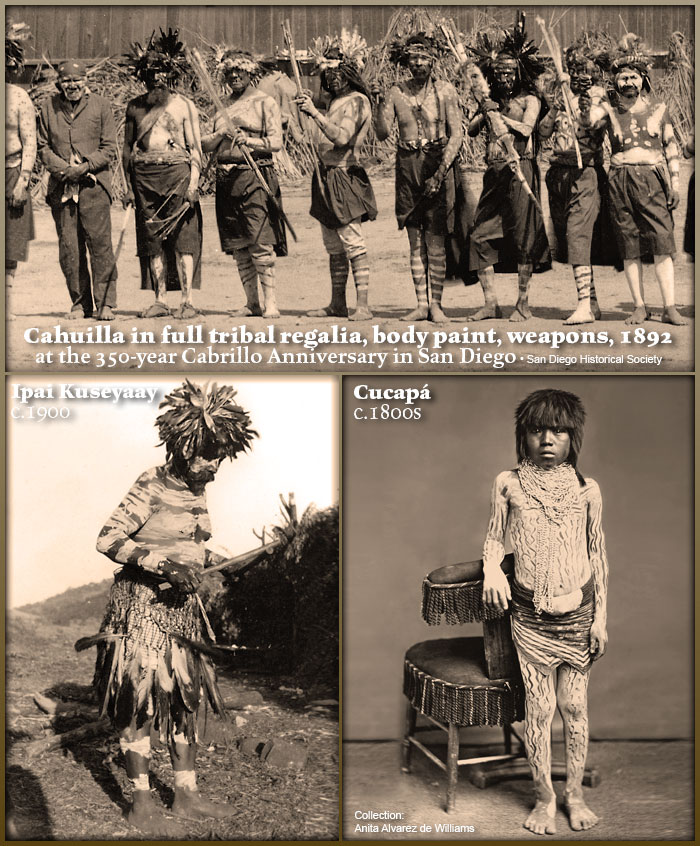
HOW DID THE ABORIGINAL TRIBESMEN APPEAR Back in the Day? I can imagine this is how the 16th and 18th century tribesmen appeared on the shorelines and villages of "Discovery" 1542, and "Invasion" (1760s):
Notice their full body, chest, face and leg paint, feathered headdresses, bandannas, lances, painted bows -- this is what authentic San Diego area male tribal regalia looks like... San Diego Indigenous CULTURE. Paul Campbell captioned the old 19th century studio photo: Painted Cocopa child. Note the design that results from scraping paint away with fingernails. Very old photograph. (From collection of Anita Alvarez de Williams.)
This historical map graphic is being used by the Kumeyaay Information Village website in its Kumeyaay History online sections.
Visit Mike Connolly's Kumeyaay band in the Smithsonian.
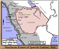
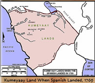
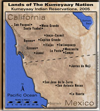
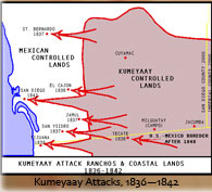
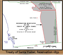
Five more MIKE CONNOLLY MISKWISH Campo Maps may be accessed here. These five historical Kumeyaay maps detail Kumeyaay points of history:
|
||||||||||||
| Terms of Use • Privacy Statement • Site Map Kumeyaay Indians Home • About Us • Mission Statement • Press Kit • Contact Us |
||||||||||||